

Step inside your GIS map.
Excuse us while we finish building this site - stay tuned


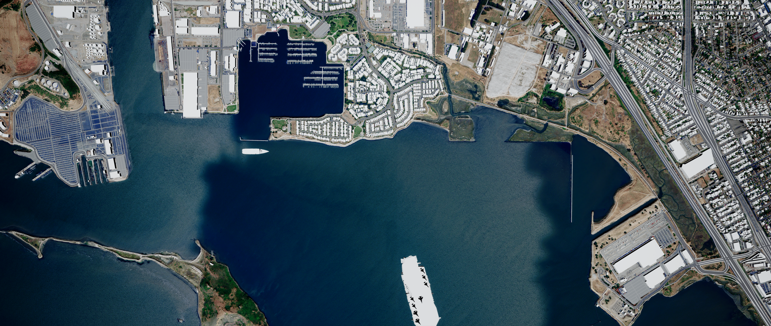


Terrain Height-mapping & Object Reconnaissance
GIS made easy. THOR enables large datasets to be visualized with ease.
Unlike other geospatial platforms, THOR code is customizable by the user.
Utilizing the Unreal Engine 4, and the power of GPU computation, THOR delivers 3D interactive mapping and exploration executables that are fully immersive within a virtual environment.
THOR maps are self-contained within an EXE file that contain both the program and data in one transferable package.
A more capable GIS future is possible. Contact us to learn more about our mission and work, or to become involved.